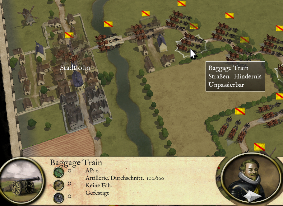
The map is done except maybe some finishing touches. The Berkel River in Christian's back, the moor to his left and the small stream and forest to his right made the battlefield a death trap for his (in the most part) unexperienced army. To increase the disaster, the two bridges over the Berkel were blocked by Christian's valuable baggage train. Don't know how to represent that detail, a baggage train unit would be really helpful.
A big thanks goes to Warlord156. By studying the beautiful maps he has done so far I surely learned a lot. (I still suck regarding the agricultural beautification, but oh well ...
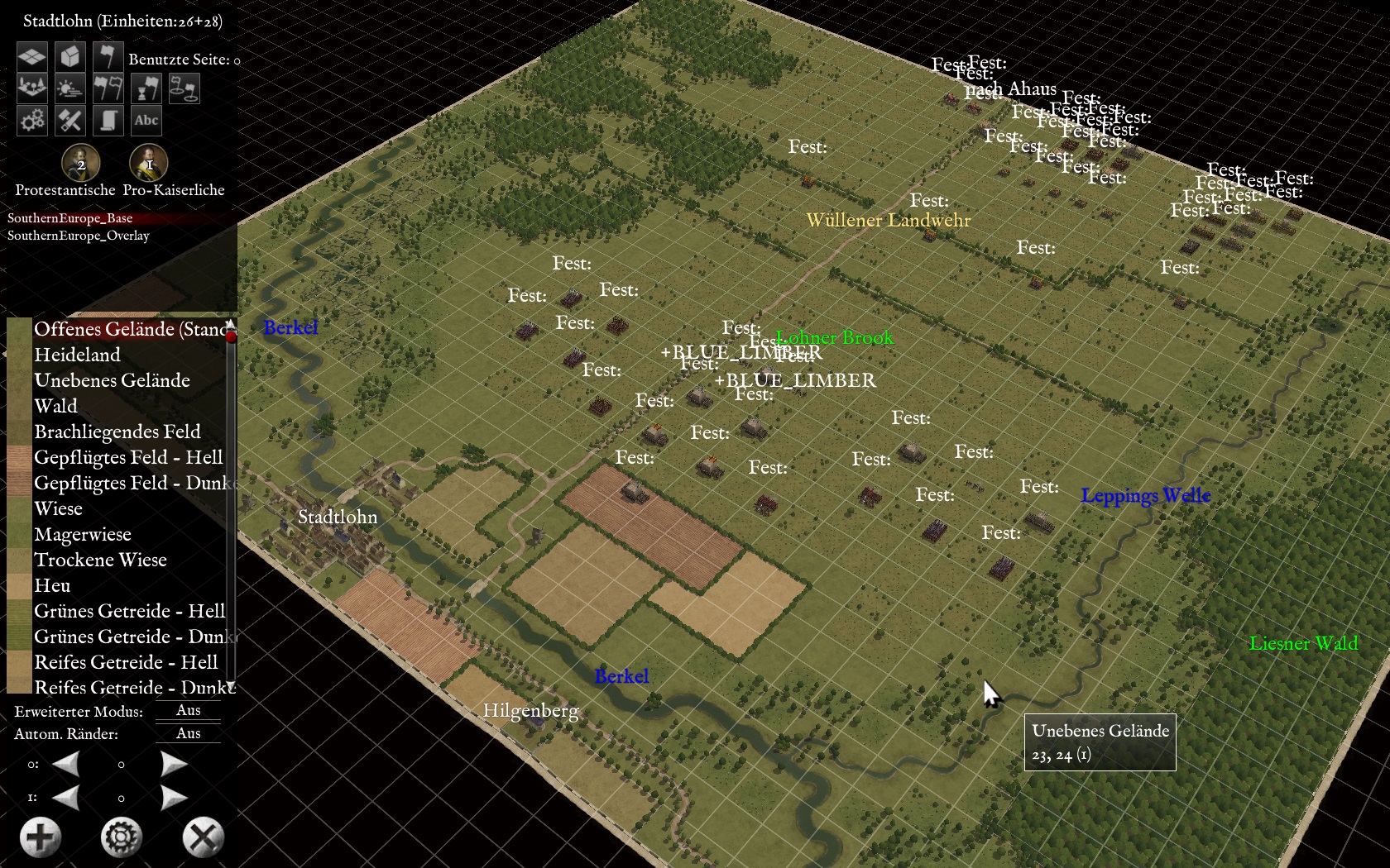
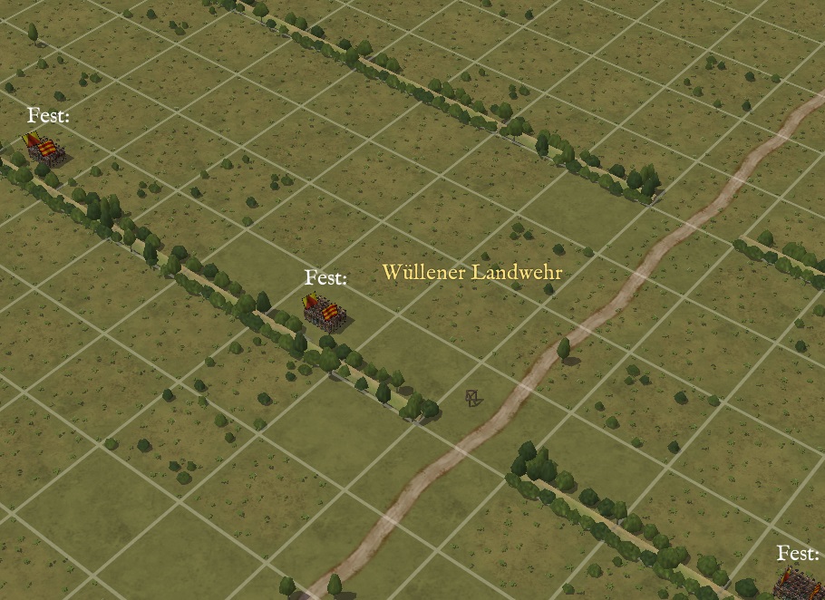
A maybe not so well known detail is the 'Landwehr' that can be seen in the picture above. A Landwehr is a medieval linear earthwork, a kind of 'frontier dyke' if such a term does exist in the English language. It didn't serve for military purposes but rather marked the borderline between two municipalities. The earthwork was often covered by thick hedges and trees: an effective obstacle against rustlers and other ragtag. Passways were carefully guarded by the villagers. Landwehren can still be seen today in the Westphalian landscape.
I tried to represent the 'Wüllener Landwehr' by using the "Light Wall" elements in the editor. Then I covered the wall with shrubs and trees as can be seen below.
Next thing to do is the OOB. As always, sources are inconsistent. I surely need the expertise of some of you when it comes to certain details.
Then setting up the AI. Then playtesting.
---
One question to start with: Can the number of men of a unit be edited? If so, how? Couldn't find a way to do this with the editor.