Erik, I am taking some liberties with this guy's Rukajärvi map. Rukajärvi is today's Rugozero and Ontajärvi is today's Ondozero. They triangulate with Repola thusly:
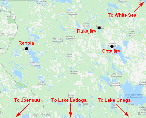
- Repola-Rukajärvi-Ontajärvi_Triangle.png (319.88 KiB) Viewed 3290 times
The town of Ondozero/Ontajärvi is about 28km from Rugozero/Rukajärvi but what I believe the guy is referring to as Ontajoki (river) is this stream flowing south into Ontajärvi (lake); it doesn't show on the map but you can see it in satellite view and it is only about 12km away:

- Image0378.jpg (450.72 KiB) Viewed 3290 times
So this would make sense of the author's statement of "The capture of the Rukajarvi from the Northern road was threatening thousands of Russian troops which were already evacuating the Northern Karelia and retiring to the eastern side of the Ontajoki River." In other words, the Finns, generally attacking from the west, would be pushing the Soviets to the other side of Ontajoki.
Now, you have left markers on the map pointing to the Ontajoki without it actually appearing, which I think is correct; from the size of the scenario map, that river would not be appearing. But I don't think he captured the area properly.
This is how he had it, based on your following his template:
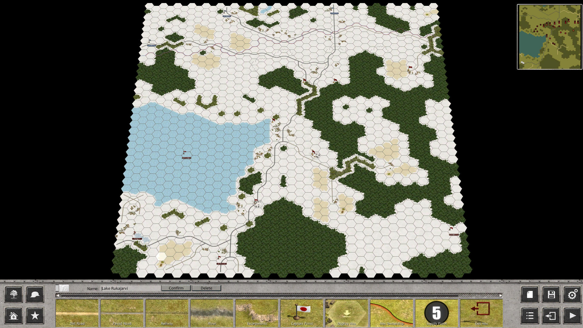
- Screenshot 1.jpg (371.61 KiB) Viewed 3290 times
I am going to make the map look more like this, the area inside the red box, with the Finns driving south between the two lakes, and Rugozero/Rukajärvi being the objective tucked into the southwestern corner:

- Image0379.jpg (323.31 KiB) Viewed 3290 times

The nightmares are very true and to the point.


