"Next slide. And here, gentlemen, is your Free France campaign map."

- Screenshot 1.jpg (230.91 KiB) Viewed 2635 times
[From somewhere in the back of the audience - it is dark and my eyes are not what they used to be, thanks to OOB, so I cannot see who it is - comes a rather loud bellow: "What the . . . That's not a map! What are you trying to hand us, Professor? You charlatan! You mountebank! I want my money back!"]
[The words come to my lips, "Sergeant at arms, seize that man!" but I suppress them at the last moment. I need all of these people for the input that they provide, positive and negative, so instead I explain as follows.]
"Yes, I know it's not a map and I salute the gentleman's perspicacity in being the first to detect this fact, not to mention his understated way of communicating the knowledge to his fellow participants. [Tittering from the audience.] Now if he will allow me to explain, I will do so. Next slide.
"This is as close as I could come to a
proper campaign map:
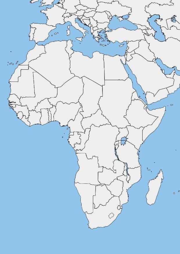
- bkank-african-map-7462.jpg (62.5 KiB) Viewed 2635 times
"Yet it is unsuitable. You may blame it on Madagascar. Next slide.
"The breadth of this campaign is outstanding; by my reckoning, the distance from Falaise to Madagascar spans a distance of approximately 8,700 kilometers or 5,400 miles:

- Image0413.jpg (253.7 KiB) Viewed 2635 times
"Only a map that shows much of Europe, and all of Africa due to the geographic location of Madagascar, will do the job. Finding a map of just Europe and Africa was no easy task; the map that I showed in the previous slide was the only one that I could find.
"The problem is, such a map will tend to be in portrait orientation, rather than the landscape format that the game prefers for a campaign map. Unedited, the game distorts this map so that Europe is shrunken and Africa, particularly southern Africa, is gargantuan. Madagascar itself appears to rival Europe in size.
"There is the workaround of expanding the horizontal borders of the map so that it approaches the ideal of 1967 x 1500 pixels for campaign maps. Several aesthetic and practical limitations result: The map itself is shrunken, there are ugly white or black bands on either side, and Asia is now truncated and floating midair. It looked so horrific that I hurriedly discarded the abomination without preparing a slide of it; my apologies.
"Ask yourselves, what is the purpose of the campaign map? It is viewed so briefly, yet it does serve one purpose, that of orienting the player as to where on the globe the ensuing action occurs. Well, what about campaign popup messages? Could they not contain miniature maps that will largely do the same thing? For that matter, will not most of our clientele have an inkling where Madagascar is, even from just having seen the movie and its three or four miserable sequels? [More tittering.]
"So, gentlemen, I beg your indulgence. What more striking way to begin this campaign than the stunning depiction of the flag of Free France? In simplicity there can be beauty, so there will be only the location ring and none of the usual foofaraw and folderol of guns, bullets, briefcases, and tea cups around the edges. The effect is truly breath-taking, in my humble opinion."
[There is silence for a few seconds. Then, again from the back of the audience, comes a slow rhythmic clapping. Others slowly join in. I cannot tell whether it is sarcastic or genuine.]


